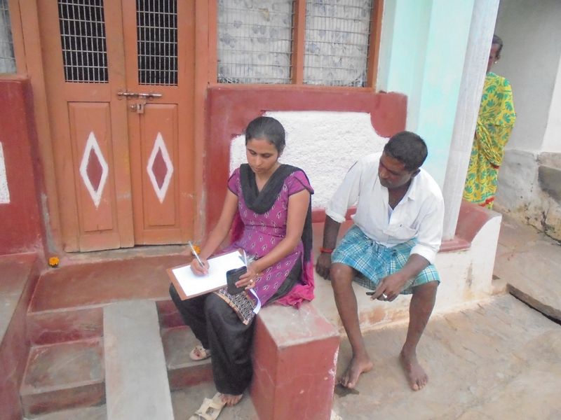
File:GIS enabled participatory mapping at a Gram Panchayat.JPG
From ITfC Annual Report 2014-15

Size of this preview: 800 × 600 pixels. Other resolution: 320 × 240 pixels.
Original file (1,200 × 900 pixels, file size: 461 KB, MIME type: image/jpeg)
File uploaded with MsUpload
File history
Click on a date/time to view the file as it appeared at that time.
| Date/Time | Thumbnail | Dimensions | User | Comment | |
|---|---|---|---|---|---|
| current | 14:45, 15 September 2015 | | 1,200 × 900 (461 KB) | Deepu (Talk | contribs) | File uploaded with MsUpload |
- You cannot overwrite this file.
File usage
The following page links to this file:


